U.S. flag

An official website of the United States government

Landslide Hazards Program

The primary objective of the National Landslide Hazards Program is to reduce long-term losses from landslide hazards by improving our understanding of the causes of ground failure and suggesting mitigation strategies.

News

USGS Seeks Landslide Risk Reduction Proposals (FY25)

USGS Seeks Landslide Risk Reduction Proposals (FY25)

USGS experts responding simultaneously to two major natural hazards

USGS experts responding simultaneously to two major natural hazards

USGS landslide event team activated in wake of Hurricane Helene

USGS landslide event team activated in wake of Hurricane Helene

Publications

Using the horizontal-to-vertical spectral ratio method to estimate thickness of the Barry Arm landslide, Prince William Sound, Alaska

Conducting detailed investigations of large landslides is difficult, especially in the subsurface, largely due to environmental factors such as steep slopes, difficult access, and numerous objective hazards. These factors have made it challenging to accurately estimate the depth to the failure surface of the Barry Arm landslide, a large (roughly 108 cubic meters), deep-seated bedrock landslide in
Authors
Andrew L. Collins, Kate E. Allstadt, Dennis M. Staley

Parsimonious high-resolution landslide susceptibility modeling at continental scales

Landslide susceptibility maps are fundamental tools for risk reduction, but the coarse resolution of current continental-scale models is insufficient for local application. Complex relations between topographic and environmental attributes characterizing landslide susceptibility at local scales are not transferrable across areas without landslide data. Existing maps with multiple susceptibility cl
Authors
Benjamin B. Mirus, Gina Marie Belair, Nathan J. Wood, Jeanne M. Jones, Sabrina N. Martinez

RegionGrow3D: A deterministic analysis for characterizing discrete three-dimensional landslide source areas on a regional scale

Regional-scale characterization of shallow landslide hazards is important for reducing their destructive impact on society. These hazards are commonly characterized by (a) their location and likelihood using susceptibility maps, (b) landslide size and frequency using geomorphic scaling laws, and (c) the magnitude of disturbance required to cause landslides using initiation thresholds. Typically, t
Authors
Nicolas Wahde Mathews, Ben Leshchinksy, Benjamin B. Mirus, Michael J. Olsen, Adam M. Booth

Science

Orocovis, Puerto Rico Landslide Monitoring Station

The Orocovis monitoring station is located in the southern portion of the central Orocovis municipality
link

Orocovis, Puerto Rico Landslide Monitoring Station

The Orocovis monitoring station is located in the southern portion of the central Orocovis municipality
Learn More

Yabucoa, Puerto Rico Landslide Monitoring Station

The Yabucoa monitoring is located in the northeastern portion of the coastal Yabucoa municipality. Landslide susceptibility is classified as very high in this area.
link

Yabucoa, Puerto Rico Landslide Monitoring Station

The Yabucoa monitoring is located in the northeastern portion of the coastal Yabucoa municipality. Landslide susceptibility is classified as very high in this area.
Learn More

U.S. Highway 50, California - Current Landslide Status

General As of October 2024, this landslide is not being monitored by the USGS.
link

U.S. Highway 50, California - Current Landslide Status

General As of October 2024, this landslide is not being monitored by the USGS.
Learn More

Multimedia

a pile of large boulders and tree parts up against a guardrail next to a road Controls on post-fire debris flows in Oregon
Controls on post-fire debris flows in Oregon
landslide safety infographic
Landslide Safety
Landslide Safety
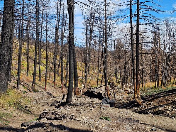
channel filled with boulders and mud surrounded by burned trees
Debris-filled channel in the 2024 South Fork Fire burn area
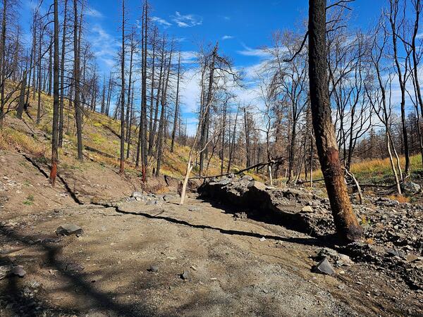
sediment-filled channel surrounded by hillslopes full of burned trees
Debris-flow deposit in the 2024 South Fork Fire burn area, New Mexico
debris fan at the mouth of a canyon and hillslopes covered with burned trees
Debris-flow fan in the 2024 South Fork Fire burn area
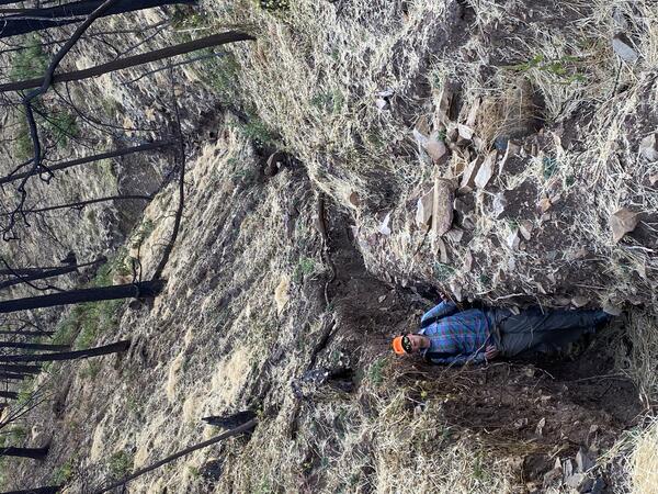
a person stands in a deep narrow channel that is surrounded by burned, leaning trees
Channel erosion in the 2024 South Fork Fire burn area
person walks up a boulder field with trees visible in the background
2024 Salt Fire burn area debris-flow deposit
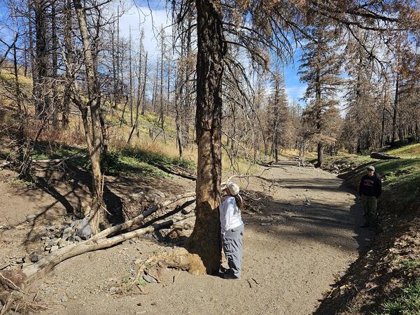
person looks up a tree that sits in a channel surrounded by mud and rocks
Damaged tree in the 2024 South Fork Fire burn area, New Mexico
A pile of mud- to boulder-sized material on a hillslope
Debris-flow deposit in the 2024 South Fork Fire burn area
Was this page helpful?